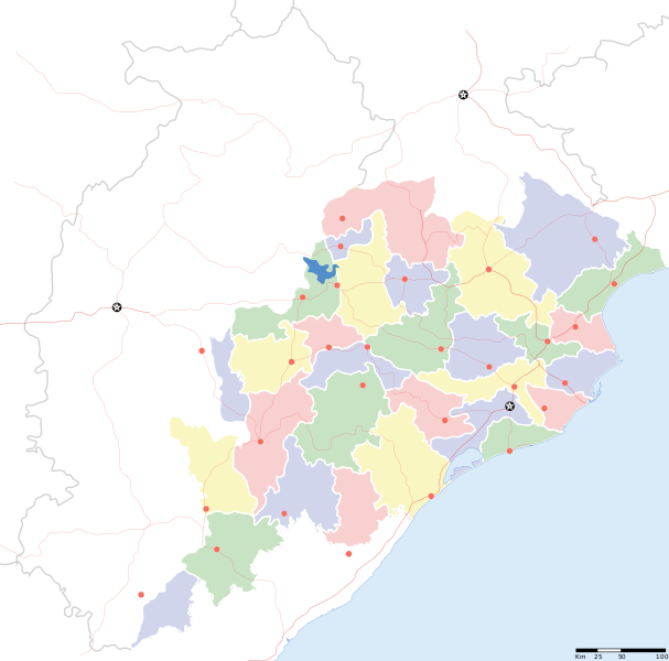
Barkas:Odisha locator map.svg
Praèn

Ukuran pratayang PNG ini dari berkas SVG ini: 607 × 600 piksel Résolusi liya: 243 × 240 piksel | 486 × 480 piksel | 778 × 768 piksel | 1.037 × 1.024 piksel | 2.074 × 2.048 piksel | 2.269 × 2.241 piksel.
Berkas asli (Barkas SVG, nominal 2.269 × 2.241 piksel, gedhéning barkas: 211 KB)
Sajarahing berkas
Klik ing tanggal/wektuné saprelu ndeleng rupané barkasé nalika tanggal iku.
| Tanggal/Wektu | Gambar cilik | Alang ujur | Naraguna | Tanggepan | |
|---|---|---|---|---|---|
| saiki | 6 Sèptèmber 2008 17.28 |  | 2.269 × 2.241 (211 KB) | Planemad | |
| 21 Fèbruari 2008 13.28 |  | 647 × 564 (132 KB) | Mkeranat~commonswiki | {{Information |Description=Locator map for the state of [w:Orissa] updated to show white borders for districts |Source=self-made, based on India locator map by [w:User:Planemad] |Date=Feb 2008 |Author= Mkeranat |Permission= |other_versions= }} | |
| 14 Fèbruari 2008 21.32 |  | 647 × 564 (130 KB) | Mkeranat~commonswiki | {{Information |Description=Locator map for the state of [w:Orissa] |Source=self-made, based on India locator map by [w:User:Planemad] |Date=Feb 2008 |Author= Mkeranat |Permission= |other_versions= }} |
Panggunaning berkas
Ora ana kaca kang nganggo barkas iki.
Panggunané barkas sajagat
Wiki liya ngisor iki nganggo barkas iki:
- Kanggo ing ar.wikipedia.org
- Kanggo ing as.wikipedia.org
- Kanggo ing awa.wikipedia.org
- Kanggo ing ba.wikipedia.org
- Kanggo ing ceb.wikipedia.org
- Kanggo ing de.wikipedia.org
- Kanggo ing en.wikipedia.org
- Kanggo ing es.wikipedia.org
- Kanggo ing fa.wikipedia.org
- Kanggo ing gu.wikipedia.org
- Kanggo ing hi.wikipedia.org
- नलबण पक्षी अभयारण्य
- साँचा:ओड़िशा के लोकसभा निर्वाचन क्षेत्र
- आस्का लोक सभा निर्वाचन क्षेत्र
- भुवनेश्वर लोक सभा निर्वाचन क्षेत्र
- बलांगिर लोक सभा निर्वाचन क्षेत्र
- कटक लोक सभा निर्वाचन क्षेत्र
- ढेंकानाल लोक सभा निर्वाचन क्षेत्र
- जगतसिंहपुर लोक सभा निर्वाचन क्षेत्र
- जाजपुर लोक सभा निर्वाचन क्षेत्र
- कलाहांडी लोक सभा निर्वाचन क्षेत्र
- कंधमाल लोक सभा निर्वाचन क्षेत्र
- भद्रक लोक सभा निर्वाचन क्षेत्र
- बालासोर लोक सभा निर्वाचन क्षेत्र
- बरगढ़ लोक सभा निर्वाचन क्षेत्र
Deleng naraguna liyané sadonya saka kaca iki.
