
Barkas:Burundi adm location map.svg

Berkas asli (Barkas SVG, nominal 624 × 680 piksel, gedhéning barkas: 93 KB)
Ringkesan
| Panyandra |
Deutsch: Positionskarte von Burundi
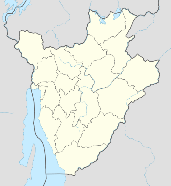
English: Location map of Burundi
Français : Carte de géolocalisation du Burundi
|
||||||||||||
| Tanggal | |||||||||||||
| Sumber |
Own work using:
|
||||||||||||
| Juru pangarang | NordNordWest | ||||||||||||
| Vèrsi liya |
|
||||||||||||
_location_map.svg)


|
This map has been made or improved in the German Kartenwerkstatt (Map Lab). You can propose maps to improve as well.
|
Lisènsi
Usage of this file with:

explanatory notes: Legally binding is only the full legalcode. For a free usage I recommend to respect the following licence conditions:
1. Provide my name as given above: NordNordWest,
2. a copy of, or the URI for, the applicable license: https://creativecommons.org/licenses/by-sa/3.0/de/legalcode,
3. the title of the work,
4. in the case of an adaptation, a credit identifying the use of the work in the adaptation.
This license and the rights granted hereunder will terminate automatically upon any breach by you of the terms of this license. Any of the above conditions can be waived if you get permission from the copyright holder. If you have questions or wish differing conditions, please contact me through nnwest or my discussion page ![]() t-online.de
t-online.de
- Kowé kena:
- ngedum – nyalin, nyebar, lan ngirim karya
- nyampur – ngolah karya
- Sangisoré kahanan mangkéné:
- atribusi – Kowé kudu mènèhi krédhit kang patut, mènèhi pranala lisènsi, lan kandha yèn ana owah-owahan. Kowé bisa tumindak sasenengmu, nanging ora teges kang duwé lisènsi njurung lakumu.
- andum mèmper – Manawa kowé nyalin rupa, ngowahi, utawa nggawé karya nganggo bahan karya iki, kowé kudu mbabar karyamu kang wis dadi nganggo lisènsi kang padha utawa kang cocog karo karya asliné..

Sajarahing berkas
Klik ing tanggal/wektuné saprelu ndeleng rupané barkasé nalika tanggal iku.
| Tanggal/Wektu | Gambar cilik | Alang ujur | Naraguna | Tanggepan | |
|---|---|---|---|---|---|
| saiki | 15 Sèptèmber 2015 17.26 | | 624 × 680 (93 KB) | NordNordWest | upd |
| 1 Dhésèmber 2014 15.25 |  | 624 × 680 (91 KB) | NordNordWest | == {{int:filedesc}} == {{Information |Description= {{de|1=Positionskarte von Burundi}} {{en|1=Location map of Burundi}} {{Location map series N |stretching=100 |top=-2.2 |bottom=-4.6 |left=28.8 |right=31.0 }} |Source={{Own using}} * United States Natio... |
Panggunaning berkas
Kaca ing ngisor iki nganggo barkas iki:
Panggunané barkas sajagat
Wiki liya ngisor iki nganggo barkas iki:
- Kanggo ing af.wikipedia.org
- Kanggo ing an.wikipedia.org
- Kanggo ing ast.wikipedia.org
- Kanggo ing azb.wikipedia.org
- Kanggo ing bn.wikipedia.org
- Kanggo ing ceb.wikipedia.org
Deleng naraguna liyané sadonya saka kaca iki.