
Barkas:USA 09669 Taos Pueblo Luca Galuzzi 2007.jpg
Berkas asli (2.000 × 1.333 piksel, ukuran barkas: 2,37 MB, jinis MIME: image/jpeg)
|
This is an image of a place or building that is listed on the National Register of Historic Places in the United States of America. Its reference number is 66000496. |
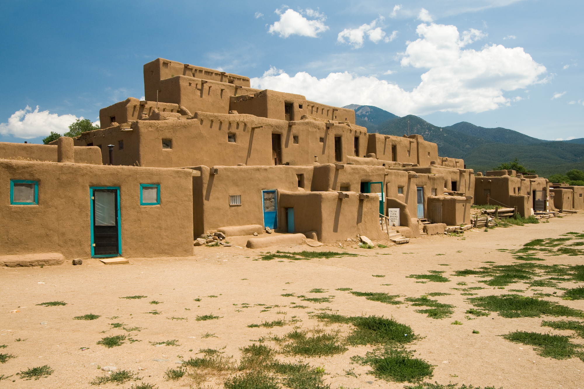
| Panyandra | Taos Pueblo multi-storied residential complex of reddish-brown adobe. It was probably built between 1000 and 1450 A.D. Located about 1 mile (1.6 km) north of the modern city of Taos, New Mexico, USA. | ||
| Tanggal | |||
| Sumber | Photo taken by (Luca Galuzzi) * http://www.galuzzi.it | ||
| Juru pangarang | Luca Galuzzi (Lucag) | ||
| Idin (Nganggo manèh barkas iki) |
I, Luca Galuzzi, sing nduwèni hak cipta karya iki, mawa iki nerbitaké berkas iki sakisoré lisènsi kasebut: Berkas ini dilisensikan di bawah lisensi Creative Commons Atribusi-Berbagi Serupa 2.5 Generik Atribusi: I, Luca Galuzzi
|

| Lokasi objek | | Lihat gambar ini dan gambar di sekitarnya di: OpenStreetMap |
|---|
Sajarahing berkas
Klik ing tanggal/wektuné saprelu ndeleng rupané barkasé nalika tanggal iku.
| Tanggal/Wektu | Gambar cilik | Alang ujur | Naraguna | Tanggepan | |
|---|---|---|---|---|---|
| saiki | 5 Sèptèmber 2007 21.05 | | 2.000 × 1.333 (2,37 MB) | Lucag | {{Information |Description=Taos Pueblo multi-storied residential complex of reddish-brown adobe. It was probably built between 1000 and 1450 A.D. Located about 1 mile (1.6 km) north of the modern city of Taos, New Mexico, USA. |Source=Photo taken by ([[Us |
Panggunaning berkas
Kaca ing ngisor iki nganggo barkas iki:
Panggunané barkas sajagat
Wiki liya ngisor iki nganggo barkas iki:
- Kanggo ing af.wikipedia.org
- Kanggo ing ast.wikipedia.org
- Kanggo ing bat-smg.wikipedia.org
- Kanggo ing be.wikipedia.org
- Kanggo ing bn.wikipedia.org
- Kanggo ing ca.wikipedia.org
- Kanggo ing de.wikipedia.org
- Kanggo ing de.wikibooks.org
- Kanggo ing de.wikivoyage.org
- Kanggo ing en.wikipedia.org
- Colorado Western Slope
- Pueblo Revolt
- List of National Historic Landmarks in New Mexico
- National Register of Historic Places listings in Taos County, New Mexico
- Prehistory of Colorado
- Chamuscado and Rodríguez Expedition
- Mountain states
- List of Ancestral Puebloan dwellings in Colorado
- List of Ancestral Puebloan dwellings in New Mexico
- Pueblo I Period
- Pueblo II Period
- Pueblo III Period
- Pueblo IV Period
- Basketmaker III Era
- Late Basketmaker II Era
- Early Basketmaker II Era
- Basketmaker culture
- Pueblo V Period
- Archaic–Early Basketmaker Era
- Template:Ancestral Puebloan Periods
- List of World Heritage Sites in North America
- Ancestral Puebloans
- Kanggo ing en.wikivoyage.org
- Kanggo ing es.wikipedia.org
Deleng naraguna liyané sadonya saka kaca iki.